libri scuola books Fumetti ebook dvd top ten sconti 0 Carrello


Torna Indietro

buchroithner manfred f. (curatore) - remote sensing for environmental data in albania

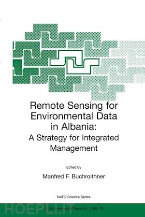
Remote Sensing for Environmental Data in Albania A Strategy for Integrated Management


Disponibilità: Normalmente disponibile in 15 giorni
A causa di problematiche nell'approvvigionamento legate alla Brexit sono possibili ritardi nelle consegne.


PREZZO
54,98 €
NICEPRICE
52,23 €
SCONTO
5%


Questo prodotto usufruisce delle SPEDIZIONI GRATIS
selezionando l'opzione Corriere Veloce in fase di ordine.


Pagabile anche con Carta della cultura giovani e del merito, 18App Bonus Cultura e Carta del Docente


Facebook Twitter Aggiungi commento


Spese Gratis

Dettagli

Genere:Libro
Lingua: Inglese
Pubblicazione: 09/2000
Edizione: Softcover reprint of the original 1st ed. 2000


Trama

A comprehensive source book for anybody interested in the potential of remote sensing and GIS technology for the Eastern Europe countries in transition, and less developed countries in general. Leading experts from Europe, Canada and the USA cover a wide variety of applications, from the provision of satellite data to land, water and atmosphere planning issues. The individual contributions present a nice balance between theory and proved application methods.
The book is suitable for a wide spectrum of readers, such as graduate students of the environmental and geo sciences, teachers and professors, specialists at various administrative levels, political decision makers and policy makers, and technical aid GOs and NGOs.


Sommario

Opening Address.- Opening Address.- Opening Address.- Environmental Problems of Albania.- Availability of Current Spaceborne Earth Observation Data.- Mapping from Space.- WWW Information Services for Earth Observation and Environmental Information.- Map Making with Remote Sensing Data.- Land Cover — Land Use Mapping within the European CORINE Programme.- Computer-assisted Large Area Land Use Classification with Optical Remote Sensing.- Experiences with the Implementation of GIS and Remote Sensing in the Czech Forest Management.- Resource Assessments and Land Degradation Monitoring with Earth Observation Satellites.- Coastal Zone Geomorphological Mapping Using Landsat TM Imagery: An Application in Central Albania.- Snow Runoff Models Using Remotely Sensed Data.- GIS and Spatial Databases for Land Mine Mapping.- Infrastructure Requirements for Non-motorised Transport.- Potentials and Limitations of Technology Transfer in the Development Cooperation, Shown for the Transfer of Information Technology.- Manifesto of Tirana — Resolution of NATO Remote Sensing & GIS Workshop 1999.- List of Speakers.


Altre Informazioni

ISBN:

9780792365280

Condizione: Nuovo
Collana: NATO Science Partnership Subseries: 2
Dimensioni: 244 x 170 mm
Formato: Brossura
Illustration Notes:IX, 242 p.
Pagine Arabe: 242
Pagine Romane: ix


Dicono di noi