libri scuola books Fumetti ebook dvd top ten sconti 0 Carrello


Torna Indietro

mata-rivera miguel felix (curatore); zagal-flores roberto (curatore); arellano verdejo javier (curatore); lazcano hernandez hugo enrique (curatore) - gis latam

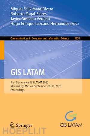
GIS LATAM First Conference, GIS LATAM 2020, Mexico City, Mexico, September 28–30, 2020, Proceedings

; ; ;


Disponibilità: Normalmente disponibile in 15 giorni


PREZZO
54,98 €
NICEPRICE
52,23 €
SCONTO
5%


Questo prodotto usufruisce delle SPEDIZIONI GRATIS
selezionando l'opzione Corriere Veloce in fase di ordine.


Pagabile anche con Carta della cultura giovani e del merito, 18App Bonus Cultura e Carta del Docente


Facebook Twitter Aggiungi commento


Spese Gratis

Dettagli

Genere:Libro
Lingua: Inglese
Editore:

Springer

Pubblicazione: 09/2020
Edizione: 1st ed. 2020


Trama

This book constitutes the refereed proceedings of the First GIS LATAM Conference, GIS LATAM 2020, held in September 2020. Due to the COVID-19 pandemic the conference was held online. 

The 9 full papers and 2 short papers were thoroughly reviewed and selected from 29 submissions. The papers are focused on the GIS applications in data analytics in spheres of health, environment, government, public, and education.


Sommario

Vulnerability assessing contagion risk of Covid-19 using Geographic Information Systems (GIS) and Multi-Criteria Decision Analysis (MCDA): Case study Chetumal, México.- Land subsidence in Villahermosa Tabasco Mexico, using Radar Interferometry.- A proposal for semantic integration of crime data in Mexico City.- Crowdsourcing for Sargassum monitoring along of the Quintana Roo beaches.- The Air Quality and the relationship with the community birds from the Sierra de Guadalupe.- Swift UI and their integration to Mapkit technology as a framework for representing spatial information in mobile applications.- Forecasting the influx of people on Metrobus line 1 using a fractal analysis.- Mapping biogas from municipal waste, as potential clean energy areas in central Mexico, using Geographic Information Systems.- Geographic Information Systems for Forest Species Distribution and Habitat Suitability.- Index of Coastal Urban Resilience (ICURHF) when copingwith Hurricanes and Floods in the City of Chetumal, in the south east of Mexico.- Grouping mixed documents: Mexico job offers case study.


Altre Informazioni

ISBN:

9783030598716

Condizione: Nuovo
Collana: Communications in Computer and Information Science
Dimensioni: 235 x 155 mm
Formato: Brossura
Illustration Notes:X, 161 p. 87 illus., 74 illus. in color.
Pagine Arabe: 161
Pagine Romane: x


Dicono di noi