Questo prodotto usufruisce delle SPEDIZIONI GRATIS
selezionando l'opzione Corriere Veloce in fase di ordine.
Pagabile anche con Carta della cultura giovani e del merito, 18App Bonus Cultura e Carta del Docente
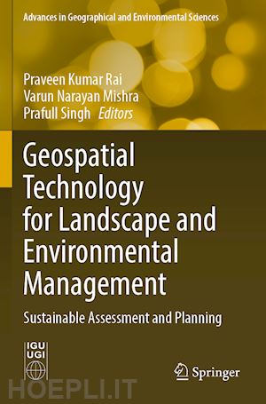
Spatio-temporal variability of channel planform dynamics in response to spatial expansion of brick kilns: a case study of the downstream course of Ichamati River, West Bengal, India.- Assessment of replenishable groundwater resource and integrated water resource planning for sustainable agriculture.- Spatial prediction of flood frequency analysis in a semi-arid zone: A case study from the Seyad basin (Guelmim Region, Morocco).- Geospatial modeling in the assessment of environmental resources for sustainable water resource management in a Gondia district, India.- Hydrochemical characteristics of groundwater-assessment of saltwater intrusion along Krishna Godavari Delta Region, Andhra Pradesh, India.- Micro level planning for integrated natural resources management and sustainable development: an approach through a micro watershed using geospatial technology.- Ecohydrological perspective for environmental degradation of lakes and wetlands in Delhi.- Prioritization and quantitative assessment of Dhundsir Gad using RS and GIS: implications for watershed management, planning and conservation, Garhwal Himalaya, Uttarakhand.- Assessment of groundwater potential zones and resource sustainability through Geospatial Techniques: a case study of Kamina sub-watershed of Bhima River Basin, Maharashtra, India.- Morphometric analysis of Damodar River sub-watershed, Jharkhand, India, using remote sensing and GIS techniques.- The increasing inevitability of IOT in remote disaster monitoring applications.- Countering challenges of smart cities mission through participatory approach.- Urban growth modelling and prediction of land use land cover change over Nagpur city, India using Cellular automata approach.- Slum categorization for efficient development plan - a case study of Udhampur city, J&K using Remote sensing and GIS.- Urban growth trend analysis using Shannon Entropy approach – A case study of Dehradun City of Uttarakhand, India.- Geospatial approach for mapping of significant land use / land cover changes in Andhra Pradesh.- Assessing the impact of Delhi metro network towards urbanization of Delhi-NCR.- Analysis of urban heat island effect in the Rajkot city using Geospatial Techniques.- Multi spectral remote sensing for urban planning and development.- Analysis Of urban green spaces using geospatial techniques-a case study of Vijayawada urban local body Andhra Pradesh, India.- Magnetic susceptibility and heavy metals contamination in agricultural soil of Kopargaon Area, Ahmadnagar District, Maharashtra, India.


Il sito utilizza cookie ed altri strumenti di tracciamento che raccolgono informazioni dal dispositivo dell’utente. Oltre ai cookie tecnici ed analitici aggregati, strettamente necessari per il funzionamento di questo sito web, previo consenso dell’utente possono essere installati cookie di profilazione e marketing e cookie dei social media. Cliccando su “Accetto tutti i cookie” saranno attivate tutte le categorie di cookie. Per accettare solo deterninate categorie di cookie, cliccare invece su “Impostazioni cookie”. Chiudendo il banner o continuando a navigare saranno installati solo cookie tecnici. Per maggiori dettagli, consultare la Cookie Policy.