libri scuola books Fumetti ebook dvd top ten sconti 0 Carrello


Torna Indietro

ivan igor (curatore); benenson itzhak (curatore); jiang bin (curatore); horák jirí (curatore); haworth james (curatore); inspektor tomáš (curatore) - geoinformatics for intelligent transportation

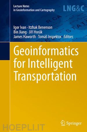
Geoinformatics for Intelligent Transportation

; ; ; ; ;


Disponibilità: Normalmente disponibile in 15 giorni


PREZZO
108,98 €
NICEPRICE
103,53 €
SCONTO
5%


Questo prodotto usufruisce delle SPEDIZIONI GRATIS
selezionando l'opzione Corriere Veloce in fase di ordine.


Pagabile anche con Carta della cultura giovani e del merito, 18App Bonus Cultura e Carta del Docente


Facebook Twitter Aggiungi commento


Spese Gratis

Dettagli

Genere:Libro
Lingua: Inglese
Editore:

Springer

Pubblicazione: 08/2016
Edizione: Softcover reprint of the original 1st ed. 2015


Trama

The aim of the book is to present and discuss new methods, issues and challenges involved in geoinformatics’ contribution to making transportation more intelligent, efficient and human-friendly. It covers a wide range of topics related to transportation and geoinformatics. The themes are divided into four main sections: Transport modeling, Sensor data and services, Intelligent transport systems, and Transport planning and accessibility.


Sommario

Investigation of Sonar Stabilisation Method for Improved Seafloor Image Quality.- Global Land Cover Classification Based on Microwave Polarization and Gradient Ratio (MPGR).- Optimal Path Problem With Possibilistic Weights.- Optimal Placement of the Bike Rental Stations and Their Capacities in Olomouc.- Detecting Spatial and Temporal Route Information of GPS Traces.- Impact of Particular Indicators of Urban Development of Cities in the Czech Republic on Average Road Traffic Intensity.- Time of Day Dependency of Public Transport Accessibility in the Czech Republic.- Automatic Generation of 3D Building Models from Point Clouds.- Towards a Solution for the Public Web-Based GIS Monitoring and Alerting System.- Demand and Supply of Transport Connections for Commuting in the Czech Republic.- Train Platforming Problem.- Examples of the Implementation of Fuzzy Models in Tourism in the South Moravian Region.- Photovoltaics as an Element of Intelligent Transport System Development.- Urban Heartbeats (Daily Cycle of Public Transport Intensity).- Improving Geolocation by Combining Gps with Image Analysis.- The Impact of Data Aggregation on Potential Accessibility Values.- The Accuracy Of Digital Models For Road Design.- Gps Data and Car Drivers’ Parking Search Behavior in the City of Turnhout, Belgium.- Mobile Application for Acquiring Geodata on Public Transport Network.


Altre Informazioni

ISBN:

9783319364452

Condizione: Nuovo
Collana: Lecture Notes in Geoinformation and Cartography
Dimensioni: 235 x 155 mm
Formato: Brossura
Illustration Notes:XIX, 272 p. 111 illus., 86 illus. in color.
Pagine Arabe: 272
Pagine Romane: xix


Dicono di noi