
Questo prodotto usufruisce delle SPEDIZIONI GRATIS
selezionando l'opzione Corriere Veloce in fase di ordine.
Pagabile anche con Carta della cultura giovani e del merito, 18App Bonus Cultura e Carta del Docente
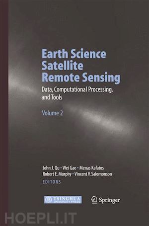
Earth science satellite remote sensing has been rapidly expanding during the last decade. Volume 2 of this two volume monograph provides information on the Earth science remote sensing data information and data format such as HDF-EOS, and tools. It evaluates the current data processing approaches and introduces data searching and ordering from different public domains. Further it explores the remote sensing and GIS migration products and WebGIS applications. The core of this book arose from the workshop for Earth Science Satellite Remote Sensing held at George Mason University (GMU) in October 2002. Both volumes are designed to give scientists and graduate students with limited remote sensing background a thorough introduction to current and future NASA, NOAA and other Earth science remote sensing.


Il sito utilizza cookie ed altri strumenti di tracciamento che raccolgono informazioni dal dispositivo dell’utente. Oltre ai cookie tecnici ed analitici aggregati, strettamente necessari per il funzionamento di questo sito web, previo consenso dell’utente possono essere installati cookie di profilazione e marketing e cookie dei social media. Cliccando su “Accetto tutti i cookie” saranno attivate tutte le categorie di cookie. Per accettare solo deterninate categorie di cookie, cliccare invece su “Impostazioni cookie”. Chiudendo il banner o continuando a navigare saranno installati solo cookie tecnici. Per maggiori dettagli, consultare la Cookie Policy.