
Questo prodotto usufruisce delle SPEDIZIONI GRATIS
selezionando l'opzione Corriere Veloce in fase di ordine.
Pagabile anche con Carta della cultura giovani e del merito, 18App Bonus Cultura e Carta del Docente
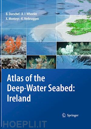
Presented in an accessible, user-friendly format, this atlas sets out all the major features revealed during one of the largest ever deep-sea mapping campaigns. A unique insight into the morphology of the seabed along the continental margin of the North-East Atlantic, it reveals for the first time many features that have hitherto been hidden beneath the waves. It is organised both thematically and by region, with the sea floor and its biological hotspots – areas of high biodiversity such as seamounts – shown at a resolution not possible before. The atlas presents everything from submarine canyons to coral carbonate mounds, using digital terrain models generated from multibeam data and photographs taken from unmanned deep-water vehicles (ROVs).
The full-colour imagery includes digital three-dimensional seabed maps as well as the photographs, with concise text descriptions and topic boxes used to highlight and explain the geological, biological and hydrographical features, in addition to their importance and context in the deep-sea realm. Alongside the wealth of background information and topic boxes on special highlights, extensive on-line resources link the reader to full data sets and GIS locations, while suggestions for further reading point to ongoing research highlights. This is a fascinating resource that will be of use to anyone involved in off-shore and underwater activities, whether scientific or commercial.
Part I: BACKGROUND & OVERVIEW. 1 Introduction. - 2. INSS Data Processing.- 3. The Irish Seabed.- 4. Below the Irish Seabed.- 5. On the Irish Seabed.- 6. Above the Irish Seabed.- Part II: THEMATIC ATLAS. 7. Canyons & Channels.- 8. Seamounts.- 9. Escarpments.- 10. Mound Features & Carbonate Mounds.- 11. Iceberg Ploughmarks.- Part III: REGIONAL ATLAS. 12. Southwest Approaches & Goban Spur.- 13. Porcupine Seabight.- 14. Porcupine Bank.- 15. Northernmost Irish Continental Margin.-16. Rockall Trough.- 17. Rockall Bank.- 18. Hatton-Rockall Basin & Hatton Bank.- Part IV: GOING DEEPER… 19. A Guide to the Digital Atlas.- Index.


Il sito utilizza cookie ed altri strumenti di tracciamento che raccolgono informazioni dal dispositivo dell’utente. Oltre ai cookie tecnici ed analitici aggregati, strettamente necessari per il funzionamento di questo sito web, previo consenso dell’utente possono essere installati cookie di profilazione e marketing e cookie dei social media. Cliccando su “Accetto tutti i cookie” saranno attivate tutte le categorie di cookie. Per accettare solo deterninate categorie di cookie, cliccare invece su “Impostazioni cookie”. Chiudendo il banner o continuando a navigare saranno installati solo cookie tecnici. Per maggiori dettagli, consultare la Cookie Policy.