Questo prodotto usufruisce delle SPEDIZIONI GRATIS
selezionando l'opzione Corriere Veloce in fase di ordine.
Pagabile anche con Carta della cultura giovani e del merito, 18App Bonus Cultura e Carta del Docente
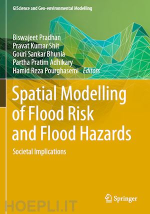
Floods and flash floods with hydro-meteorological and tropical cyclones are the some of the most devastating natural disasters causing massive damages to natural and man-made features. Flood hazards are a major threat to human life, properties (agricultural area, yield production, building and homes) and infrastructures (bridges, roads, railways, urban infrastructures, etc). Flood hazards susceptibility mapping (risk assessment) and modelling is an essential step for early warning systems, emergency services, prevention and mitigation of future environmental and social hazards and implementation of risk management strategies. Due to the lack of proper information, technology-based policies and strategies, mapping and modelling can often not be implemented to the best possible level. Geo-spatial techniques have enjoyed rising interest in recent decades among the earth environmental and social sciences research communities for their powerful ability to solve and understand various complex problems and develop novel approaches toward sustainable earth and human society.
By linking geo-spatial computational intelligence techniques with societal and environmental-oriented problems, this book demonstrates geospatial technology approaches to data mining techniques, data analysis, modelling, risk assessment and visualization and management strategies in different aspects of flood hazards. We believe that a diverse group of academics, scientists, geographers, hydrologist, remote sensing and GIS expertise, environmentalists, meteorologists and computing experts with a common interest in geospatial sciences within the earth environmental sciences and humanistic and social sciences will find this book to be of great value.
Chapter 1. Introduction to Spatial Modeling of Flood Risk and Hazard: Societal Implication.- Chapter 2. Flood Susceptibility Mapping Using Morphometric Techniques and GIS.- Chapter 3. Palaeohydrologic Estimates of Flood Discharge of Lower Ramganga River Catchment of Ganga Basin, India Using Slackwater Deposits.- Chapter 4. Flood Risk Zone Identification Using Ground Based Observation and Geospatial Technology.- Chapter 5. Dynamics River Networks and Determination of the Flood Potential in Lower Brahmaputra Valley Using Geoinfromatics.- Chapter 6. Flood Vulnerability Assessment Using AHP and Frequency Ratio Techniques.- Chapter 7. Application of Hybrid Machine Learning Algorithms for Flood Susceptibility Modelling.- Chapter 8. Flash Flood Susceptibility Mapping Using GIS Based AHP Method.- Chapter 9. GIS Based Hydrological and Hydraulic Models to Forecast River Flood Risks and Proposition of Management Measures.- Chapter 10. Large Scale Human Intervention and Estimation of Flood Susceptibility Applying Frequency Ratio Model.- Chapter 11. Flood Induced Transport Infrastructural Losses in India: Regional Assessments.- Chapter 12. Rural-Urban Differential in Flood Vulnerability and Community Preparedness for Flood Management Strategies.- Chapter 13. Application of Geospatial Techniques for Urban Flood Management: A Review.


Il sito utilizza cookie ed altri strumenti di tracciamento che raccolgono informazioni dal dispositivo dell’utente. Oltre ai cookie tecnici ed analitici aggregati, strettamente necessari per il funzionamento di questo sito web, previo consenso dell’utente possono essere installati cookie di profilazione e marketing e cookie dei social media. Cliccando su “Accetto tutti i cookie” saranno attivate tutte le categorie di cookie. Per accettare solo deterninate categorie di cookie, cliccare invece su “Impostazioni cookie”. Chiudendo il banner o continuando a navigare saranno installati solo cookie tecnici. Per maggiori dettagli, consultare la Cookie Policy.